
Seokhyeon Kim’s webpage
This is Seokhyeon Kim’s personal hompage. 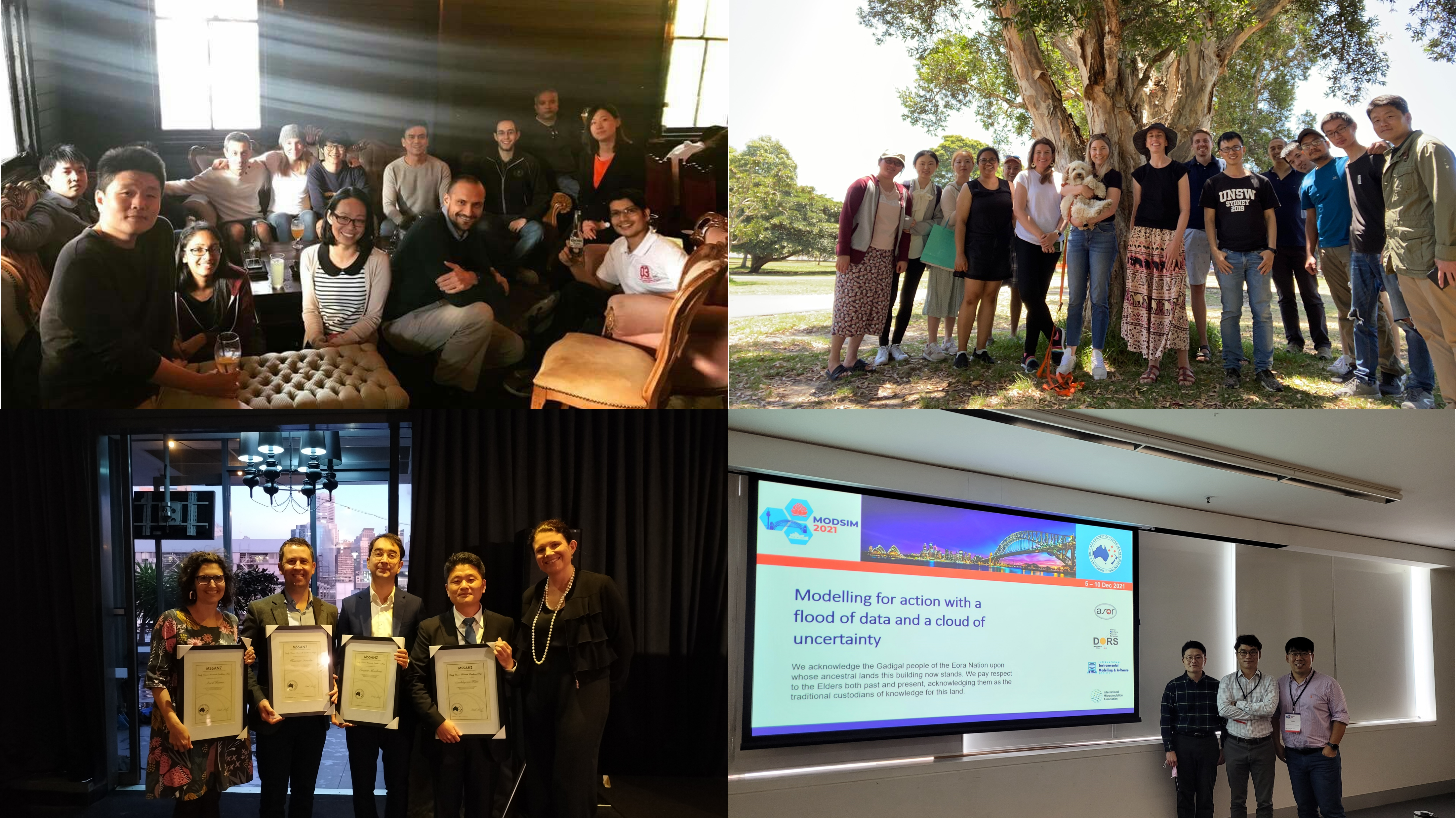
A short introduction
I am a researcher in the fields of hydrology, water resources and satellite remote sensing. I am currently working at CVEN@KHU as an assistant professor. Lab Website: WreBigDL@KHU.
RESEARCH EXPERTISE AND INTEREST:
- Environmental and hydrological studies using remote sensing/reanalysis/ground data
- Validation of satellite data
- Improvements of satellite data (accuracy/precesion/spatial resolution)
- Optimization of environmental systems and models
- Meta-heuristic algorithms, network theory, deep neural network
TEACHING ACTIVITIES:
- KHU: Big data analysis and practice (UG), Climate change and adaptation (PG)
- UNSW: Water Resources Engineering (UG), Catchment and Water Resources Modelling (PG)
EDUCATION:
- Ph.D. in Water Resources Engineering and Remote Sensing of Environment (Supervisor: Ashish Sharma, University of New South Wales, Sydney, Australia, 2017
- M.Eng. in Water Resources Engineering (Supervisor: Joong Hoon Kim, Korea University, Seoul, Republic of Korea, 2008
- B.Eng. in Civil and Environmental Engineering, Korea University, Seoul, Republic of Korea, 2001
WORKING EXPERIENCES:
- Research Associate, WRC@UNSW, Australia, 2017–2022
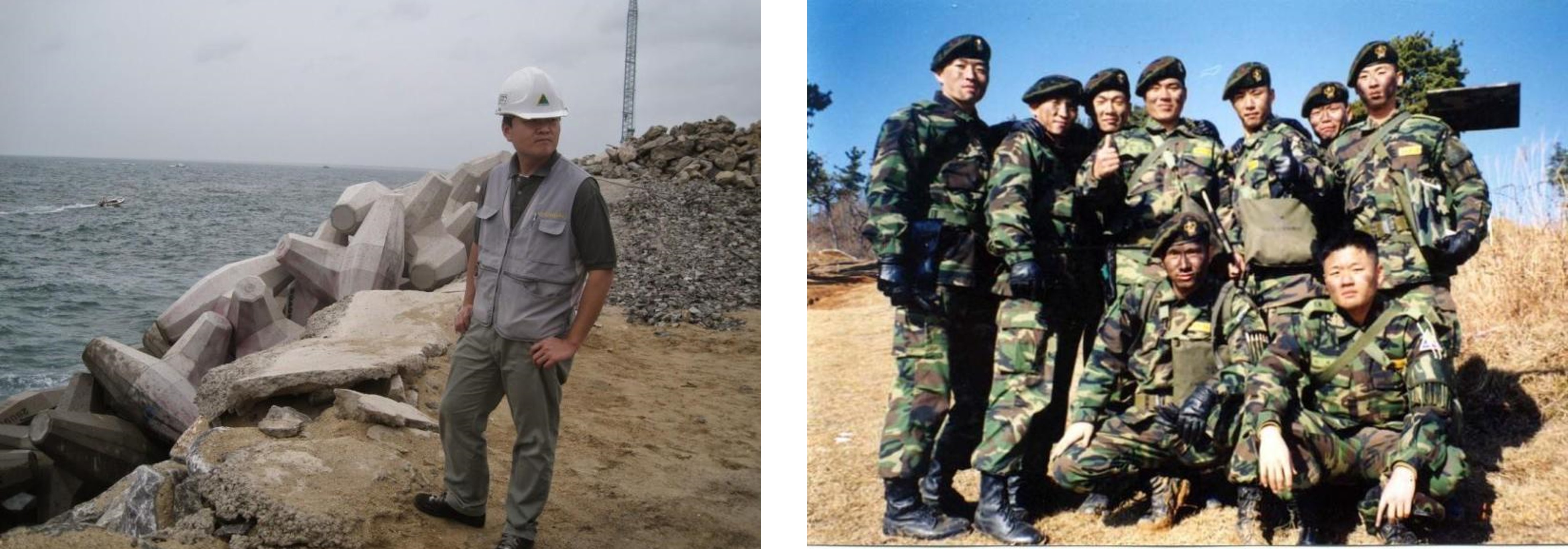
- Associate Manager, Water resources engineering in HDEC, Republic of Korea, 2008–2013
- First Lieutenant, Republic of Korea Army, 2001–2004
Selected Journal Publications
Kim S., Sharma A., Wasko C., Nathan R. (2022). Linking total precipitable water to precipitation extremes globally, Earth’s Future, 10(2), e2021EF002473.
Kim S., Sharma A., Liu Y., Young I. S. (2022). Rethinking Satellite Data Merging: From Averaging to SNR Optimization, IEEE Trans. Geosci. Remote Sens., 60, 1–15.
Kim S., Anabalon A., Sharma A. (2021) An Assessment of Concurrency in Evapotranspiration Trends Across Multiple Global Datasets, J. Hydrometeorol., 22(1), 231–244.
Kim S., Sharma A. (2019). The role of floodplain topography in deriving basin discharge using passive microwave remote sensing, Water Resour. Res., 55(2), 1707–1716.
Kim S., Paik K., Johnson F., Sharma A. (2018). Building a flood warning framework for ungauged locations using low resolution, open access remotely sensed surface soil moisture, precipitation, soil and topographic information, IEEE J. Sel. Top. Appl. Earth Obs. Remote Sens., 11(2), 375–387.